Wales Coast Path – Pwll Deri to Dinas Island
Coast Path Vital Stats
Pwll Deri to Dinas Island
- Distance: 20.68 miles
- Elevation Gain Today: 1149m
- Highest Elevation: 141m
- Time: 6:45:12
- Av. Pace: 19:36 mins/mile
- Calories: 2273
Totals to Date
- Total Distance: 1048.99 miles
- Total Time: 203:52:29
- Total Elevation Gain: 33543m
- Total Calories: 101467
- Distance to go: 58 miles
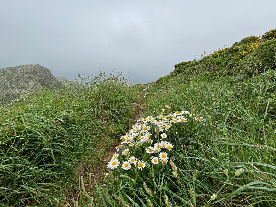
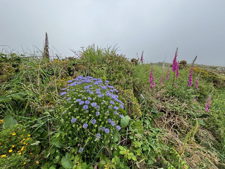
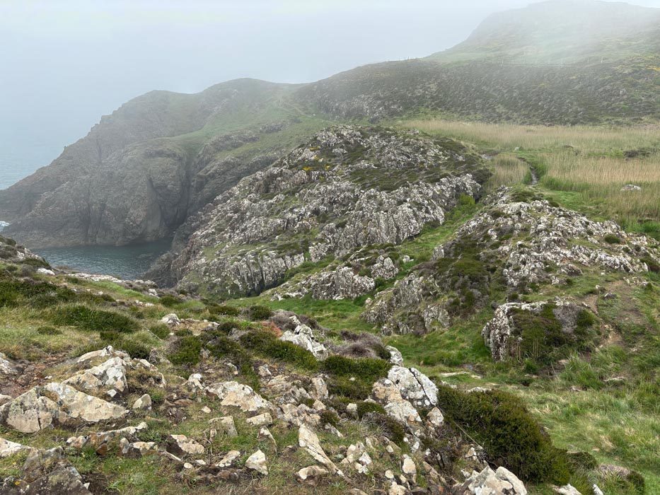
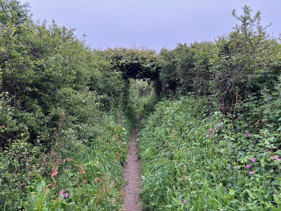
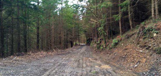
After aborting my Coast Path run a couple of months ago due to an impending storm, I was back at it last weekend. Anna kindly accompanied me to Pwll Deri where she dropped me off and then drove the car back home. I was fully laden with enough food, shelter and everything else I needed for a few days alone. I said goodbye to Anna and set off retracing my steps past the Pwll Deri Youth Hostel and out onto the mist shrouded Coast Path. I could see very little other than the path below my feet and the wildflowers that lined its sides. I brushed through the waist high wet foliage and felt rather than saw the footing below my feet as the grass tended to obscure it. There was no wind, no sound and nothing to see thanks to the sea mist. There were wildflowers everywhere which made for a cheerful walk despite the mist and murk.
I was making my way back towards the derelict building at the top of the hill. It was further than I remembered but after half an hour I made it and forged out onto trails I’d yet to explore. I could hear the sea below me but couldn’t see it through the mist.
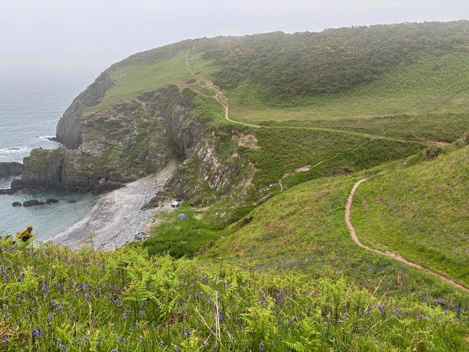
Typically, not too far beyond the derelict building, around the other side of the headland, I came across some nice wild camping spots. I think they would have been sheltered somewhat from the gale that was blowing last time I was in these parts. That time I had aborted my mission and headed home. I could probably have continued on a little further and camped here but I didn’t know that at the time and had to make a decision. If I had come this far and found nowhere to camp then I would have been out of options, so heading back to catch the last bus home was the right decision at the time.
I continued on through the mist, negotiating wet areas on little stepping stones and meandering back and forth, up and down as the path clung to the cliff edges. The mist did clear for a short while and I could see the lighthouse at Strumble Head with its light flashing ahead of me. I was surprised there was no fog horn to break the silence. Having had an early breakfast I stopped while I had a view and ate my lunch on a grassy clifftop with the view to Strumble Head before me.
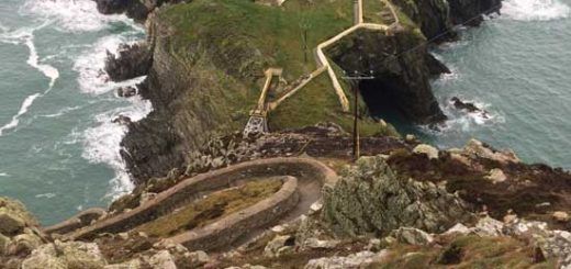
After lunch I continued on my way to Strumble Head. I saw a few people around the car park area here but it was quiet and there was very little to see as the mist once again closed in around me. I explored an old coastguard lookout that now seems to be a watch tower / educational space with information about marine mammals.
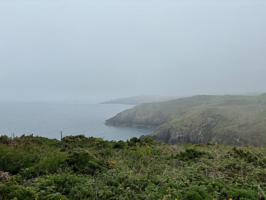
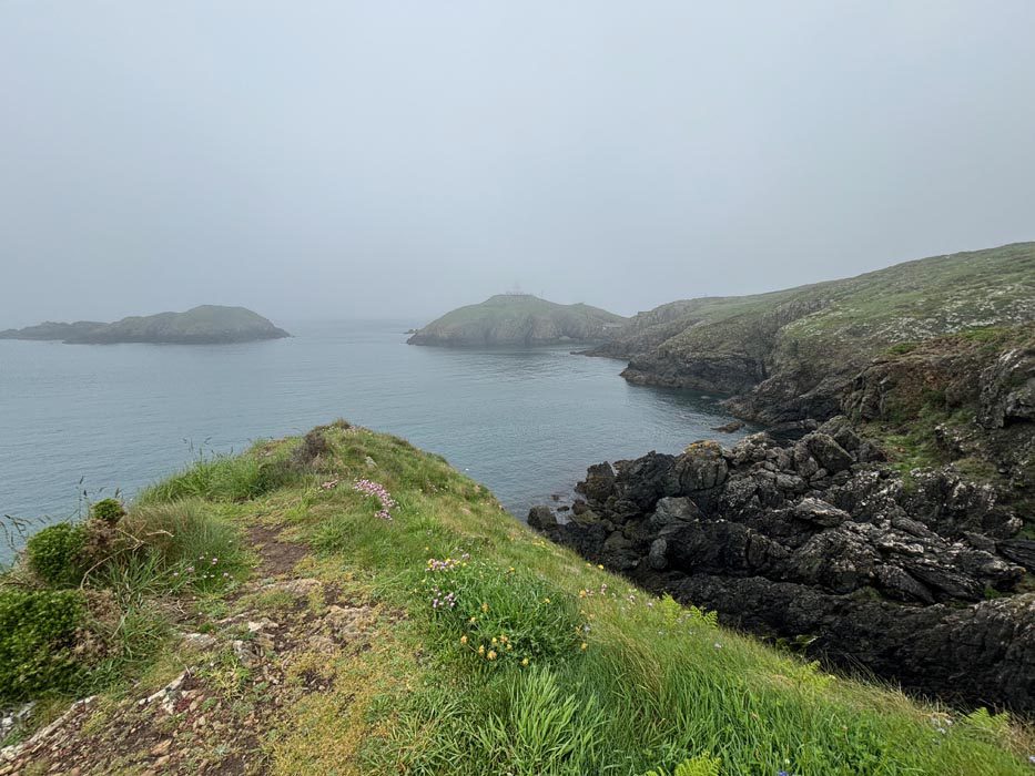
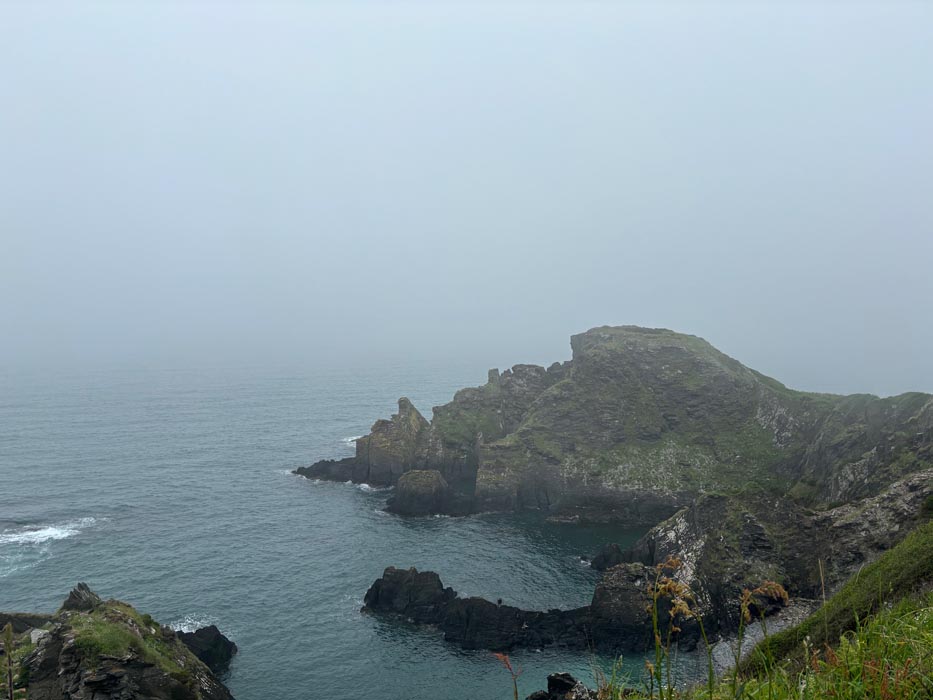
I rounded the point and starting making my way east. This was a long stretch of clifftop walking. In good weather I’m sure it would be spectacular but today there wasn’t a huge amount to see. The mist had lifted a little so I could at least now see down to the calm waters where seals bobbed in the bays or rested on rocks. The endless cliffs stretched before me as I weaved in and out along the rugged coastline. Choughs could be heard and I managed to catch sight of a few here and there.
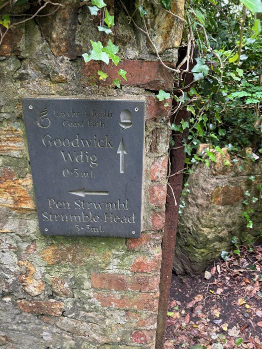
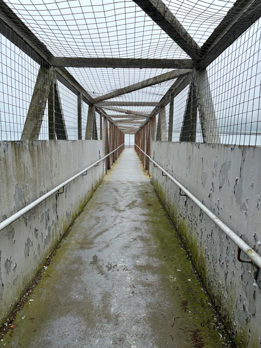
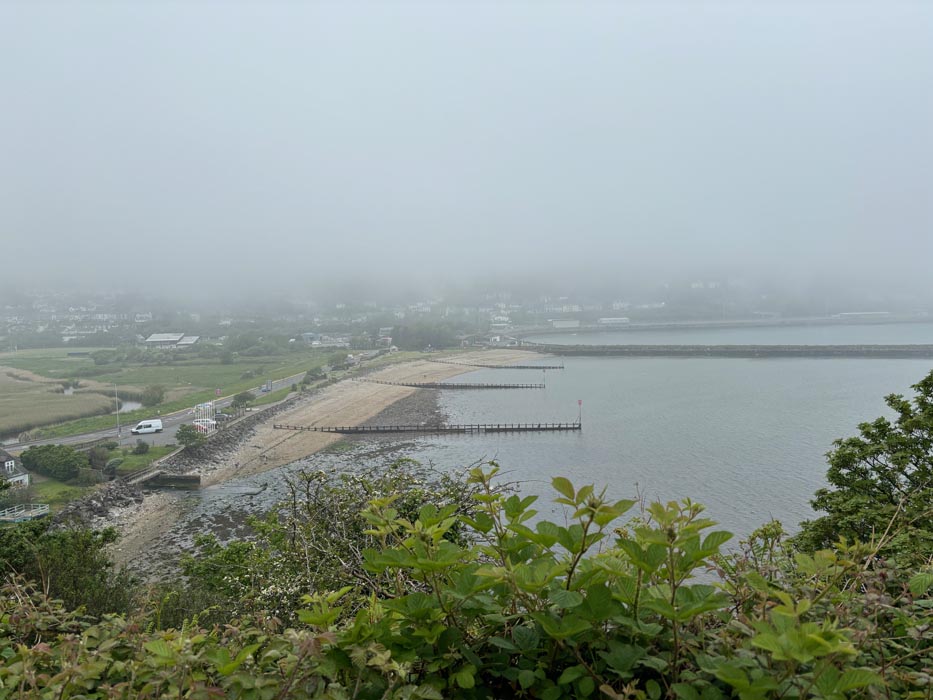
After about three and a half hours of walking I approached Goodwick, walked through its streets and then dropped down through a little woodland before crossing a bridge over the ferry terminal.
I walked down to the beach and past the Ocean Lab. I know this area a little as I did the Ocean Lava Half Ironman here so had swam in the bay and ran around the headland as part of that. I’ve also done the Fishguard Bay Ocean Ski race which started here too. Today, the waters were calm, the skies were grey and there was nothing happening.
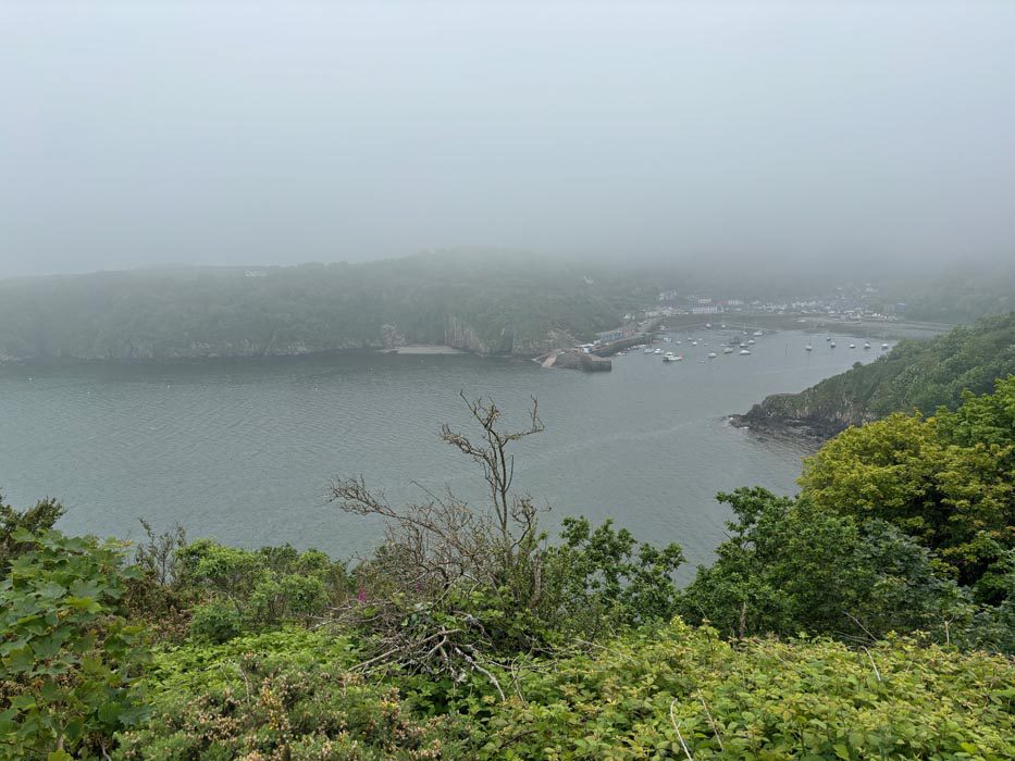
I climbed up onto the headland, following the Marine Walk where I had some views back down to the beach at Goodwick.
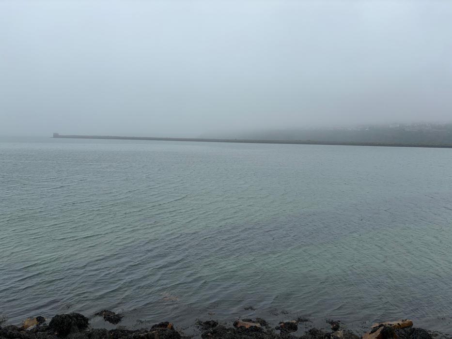
I then rounded the point and had some views of Fishguard Harbour. I knew of a café on the harbour side so began looking forward to a cup of tea and a cake. I walked down the wooded hillside, through the boatyard and out onto the harbourside where I was pleased to see the café was open. The tea and brownie went down well!
Replenished I climbed out of Fishguard and up towards Fishguard Fort. I’d looked at lots of places to camp tonight and had spotted some likely-looking spots along here. There were actually quite a few nice spots, both along the clifftops and down in the various coves. Some in particular were perfect with nice sized flat grassy areas in sheltered spots with a water source beside them. In hindsight maybe I should have stopped at one of these, but it was still quite early in the day and I had also enquired about an actual campsite at a farm on Dinas Island, so I now had my sights set on that. I left the wild camp spots behind and continued on my way up and down along the Coast Path.
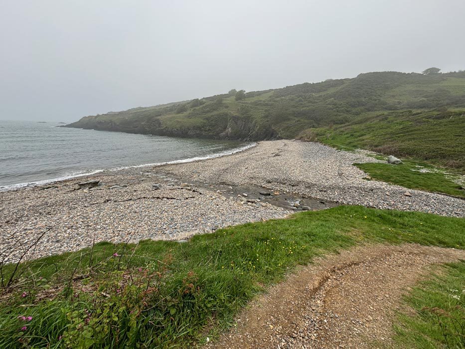
A little further on I came across another cove with yet another perfect camp site and someone already set up on it. I contemplated joining them but now wasn’t far from Dinas Island so continued on once more.
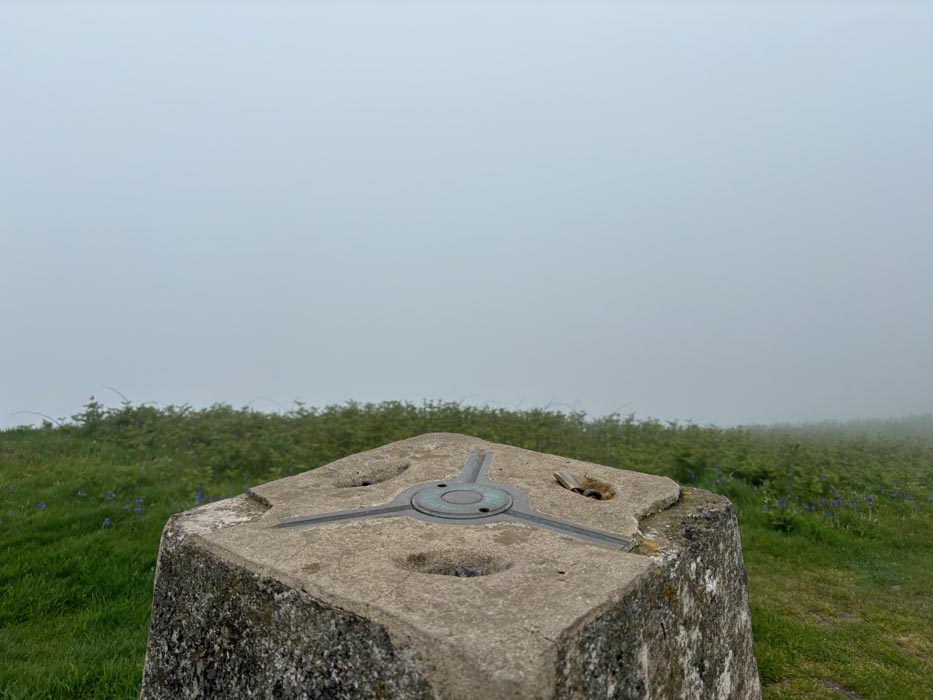
At Pwllgwaelod I followed the sign up onto Dinas Island. I passed the sign to the farm I was hoping to camp at as my plan was to walk around the island first and approach the farm from the other side along a little track. This would mean I wouldn’t have to walk around the island in the morning. I was getting tired now so the climb to the top was a bit of a slog. I stopped at the trig point for a breather and then continued on, descending the island on the other side.
I came to the track I had hoped to follow but the gate had a big ‘Private’ sign on it. I thought it would probably be OK to go through it as I was heading to the farm, but wasn’t quite brave enough. Instead I had to descend all the way down into Cwm yr Eglwys and then walk along a track all the way back to Pwllgwealod and then climb a long concrete track to the farm itself.
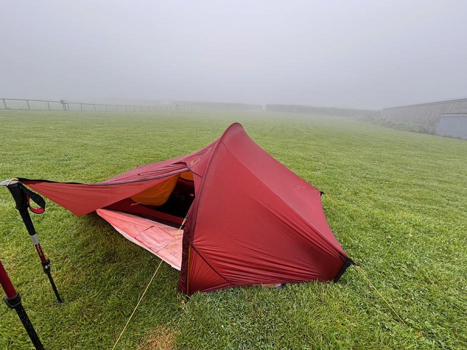
I did at least have a nice welcome at the farm and was soon set up on the campsite and able to have a warm shower.
The walk was just over 20 mies in total and it will have ticked off about 18 miles of the cast path. There weren’t too many more for me to go to finish of the entire circumnavigation.
My feet were a little sore after todays exertions and I was glad to be able to chill for the evening. It was still very misty and didn’t look like clearing so I ate my dinner and settled down for the night, ready to do it all again tomorrow.


We went to fishguard when we stayed at Poppit sands last week but we drove, walked along the little harbour and watch some boats being lifted into the water by a big crane