Misty Peaks and Boggy Trails: An Overnight Adventure in the Moelwyns
The weather last week was gorgeous – clear blue skies, light winds, and temperatures in the mid to high teens every day. Every day, that is, until Friday when I had a day off. Typically, Friday was forecast to be cloudy with light rain. I wasn’t going to let that stop me though. Despite having a mild lurgy of some description, I decided to bag some more Nuttalls and have an overnight camp.
Having bagged a few peaks in the Moelwyns to the northwest of Blaenau Ffestiniog on my last outing, it made sense to tick off some more in that area. I parked up in a little car park on the track to Cwmorthin, just beyond Tan-y-Grisiau. It’s actually the same place we parked when I took Morgan for one of his first ‘proper’ hill walks back in 2014. It was a similarly grey day then as well!
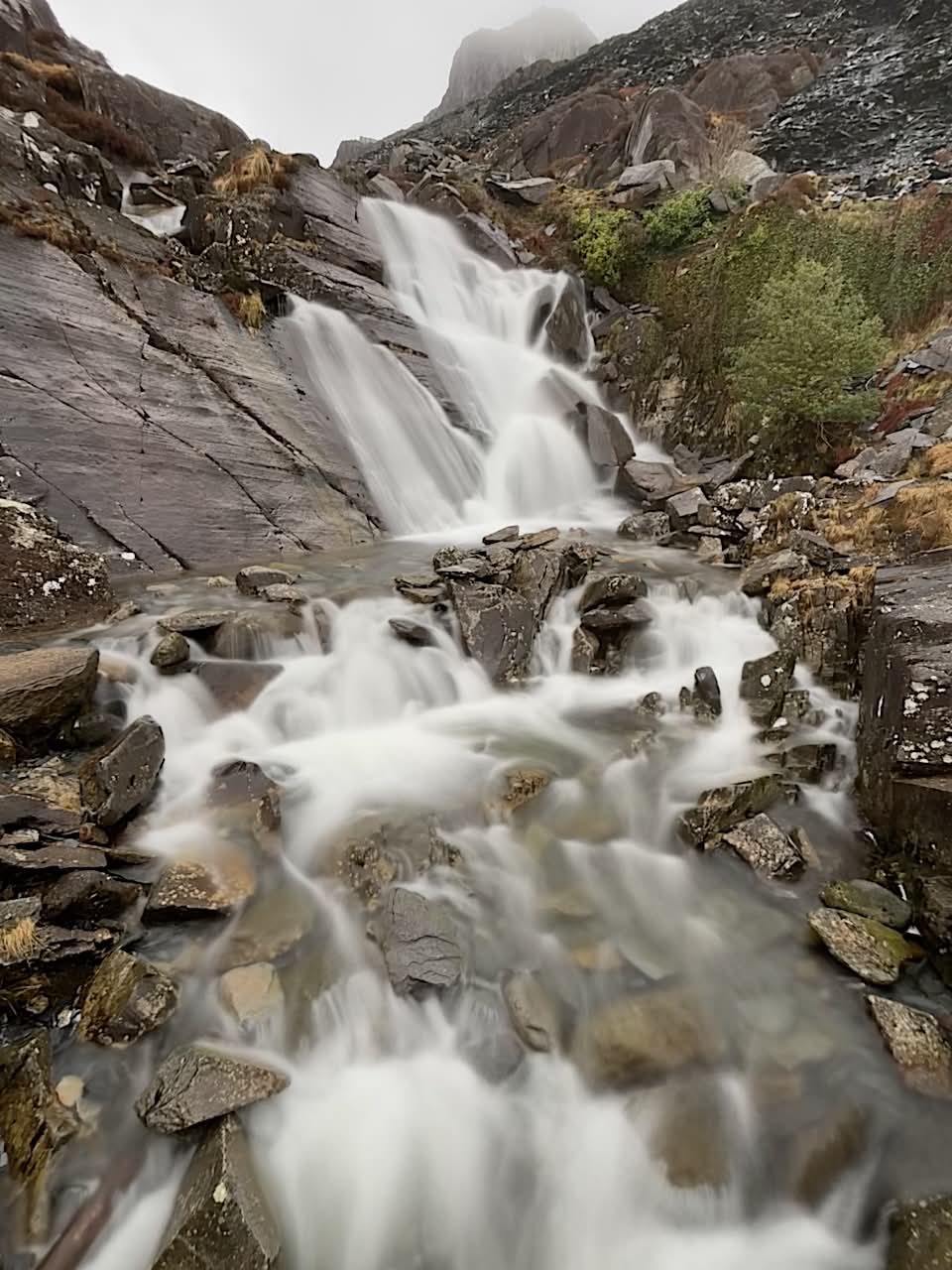
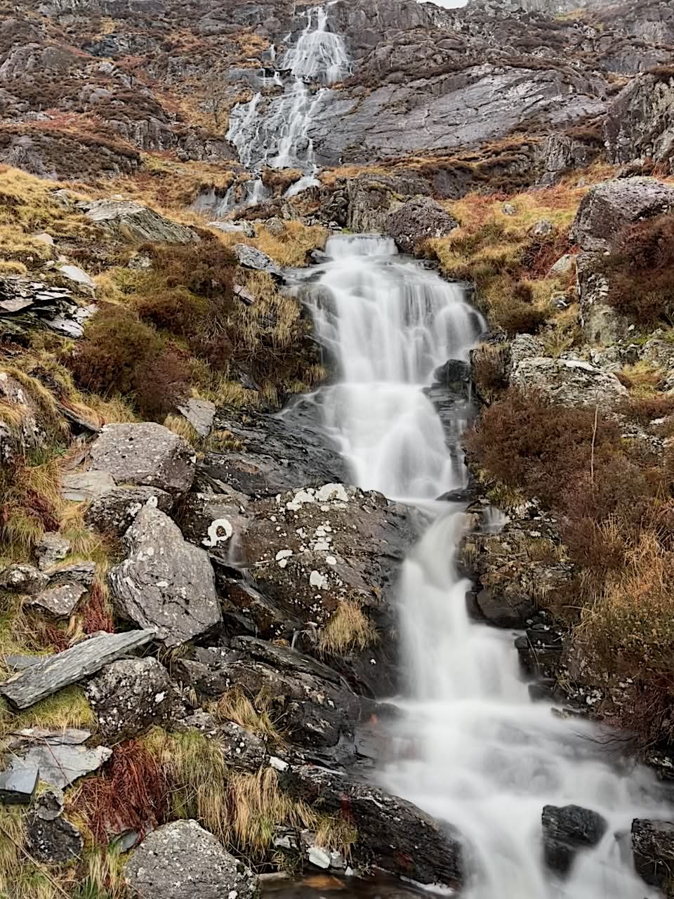
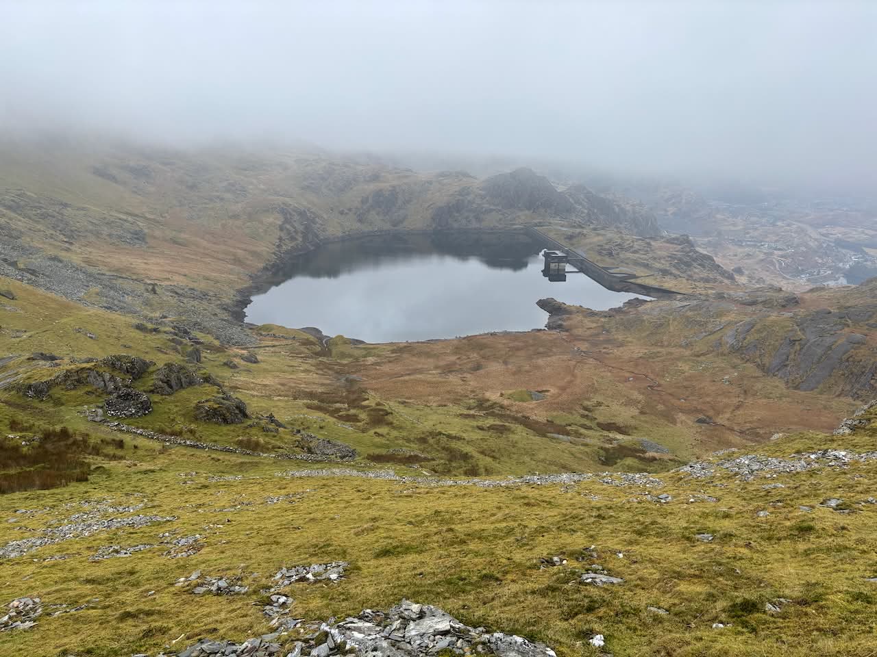
All kitted up, I crossed the bridge below the waterfall and followed the track over to a long uphill road towards Llyn Stwlan, the feeder reservoir for the Ffestiniog Hydro-Electric Power Station.
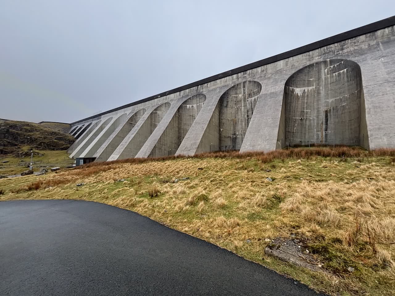
Last time, Morgan and I turned right off the road and headed straight up the incline, through a tunnel to the Wrysgan Slate Mine, and then up to the high point of Moelwyn Mawr. This time, Moelwyn Mawr would be on my route again, but first, I wanted to bag a couple of Nuttalls to the south. I followed the road all the way to the dam. It was a steady climb and fairly easy going. My thoughts also returned to memories of a somewhat sketchy climb I’d undertaken on some of the crags above the road here with a friend from University many years ago. At the end of the road I headed to the northeast side of the dam, hoping to walk across its top, but a big sign saying ‘No public access’ sent me retracing my steps to the bottom and walking beneath the huge ramparts to the other side.
Here, I crossed the stream and started a steep climb with some low-grade scrambling back to the top of the dam, then headed across rough ground to the summit of Carreg Blaen-Llym (574 m). This wasn’t high enough to be a Nuttall but was a summit all the same.
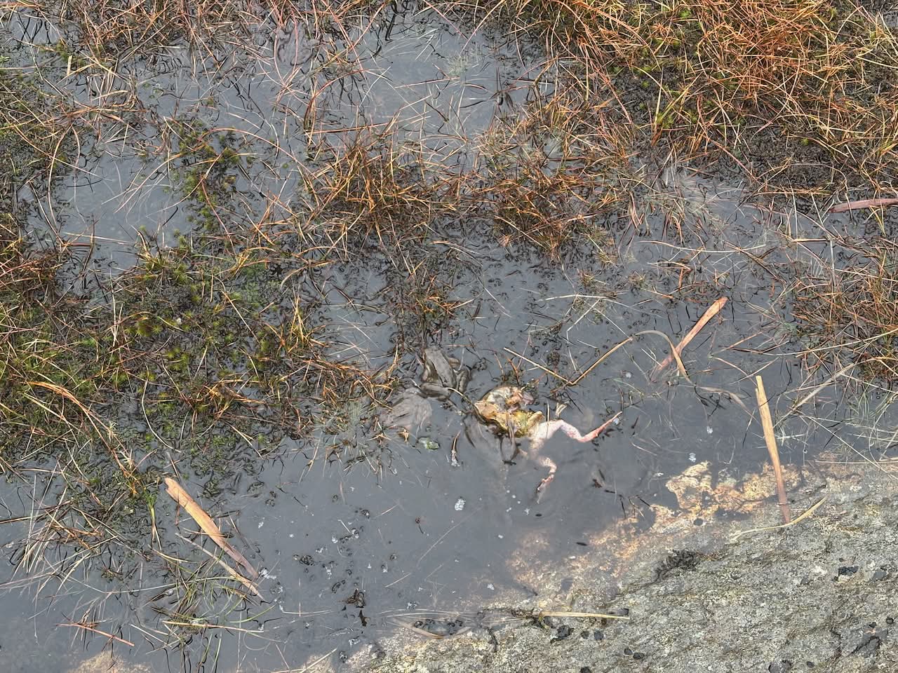
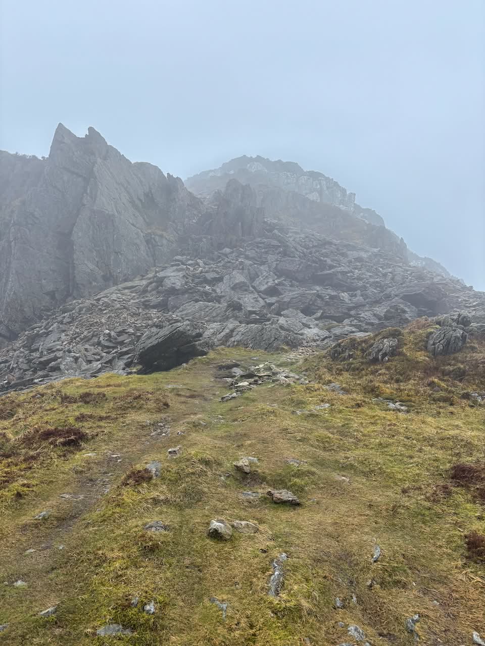
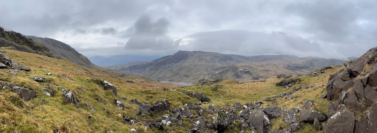
From here, I headed to the Moelwyn Slate Mine and then up a steep slope beside the scree. Picking my way across the rocky ground and steep slopes, I was cautious not to get stuck in an awkward position. Luckily, the ground soon eased, and I reached the plateau of Moelwyn Bach where small boggy ponds were chock-full of mating frogs. It was quite an eerie place in the mist and murk, surrounded by the sound of frogs.
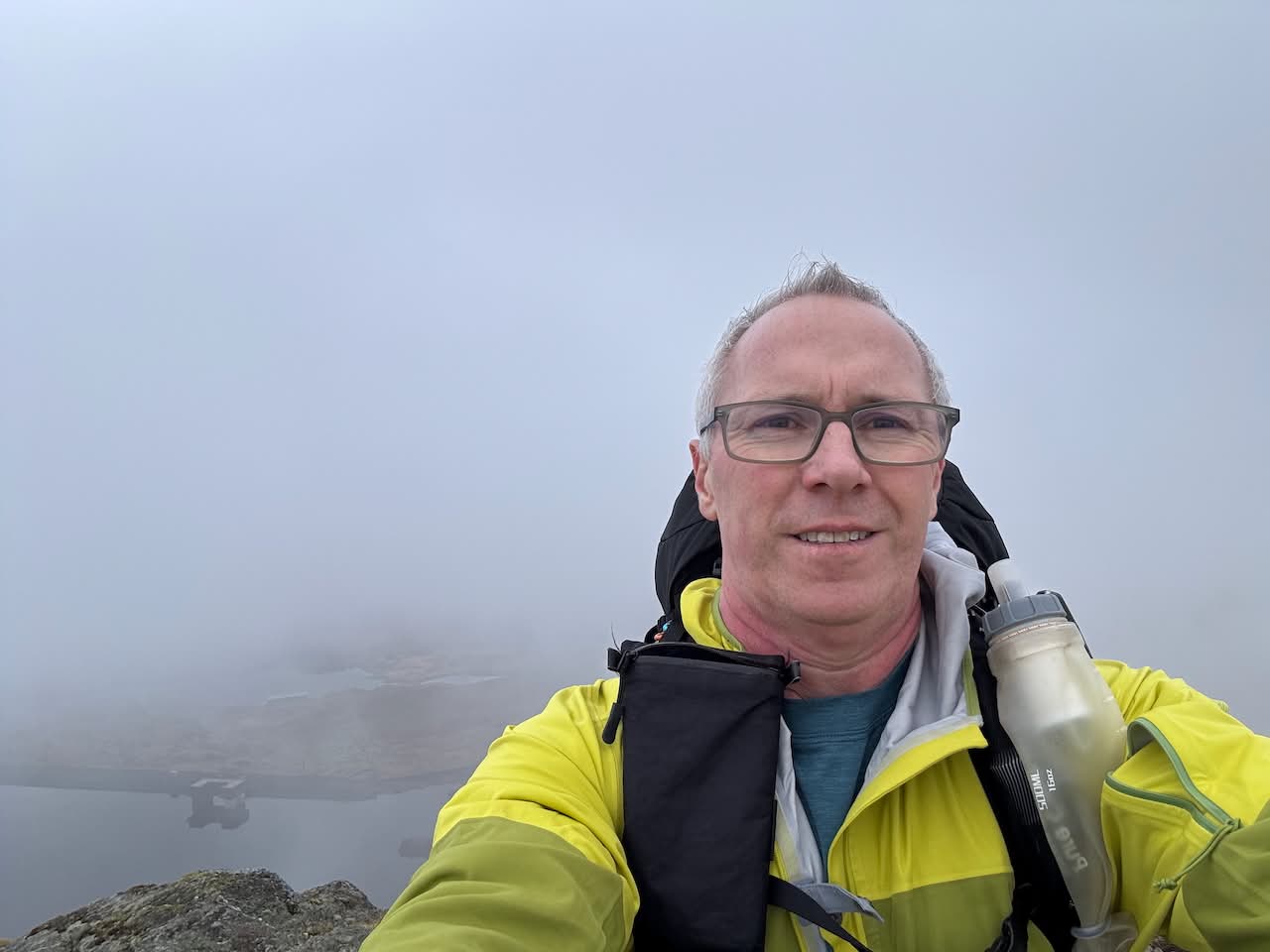
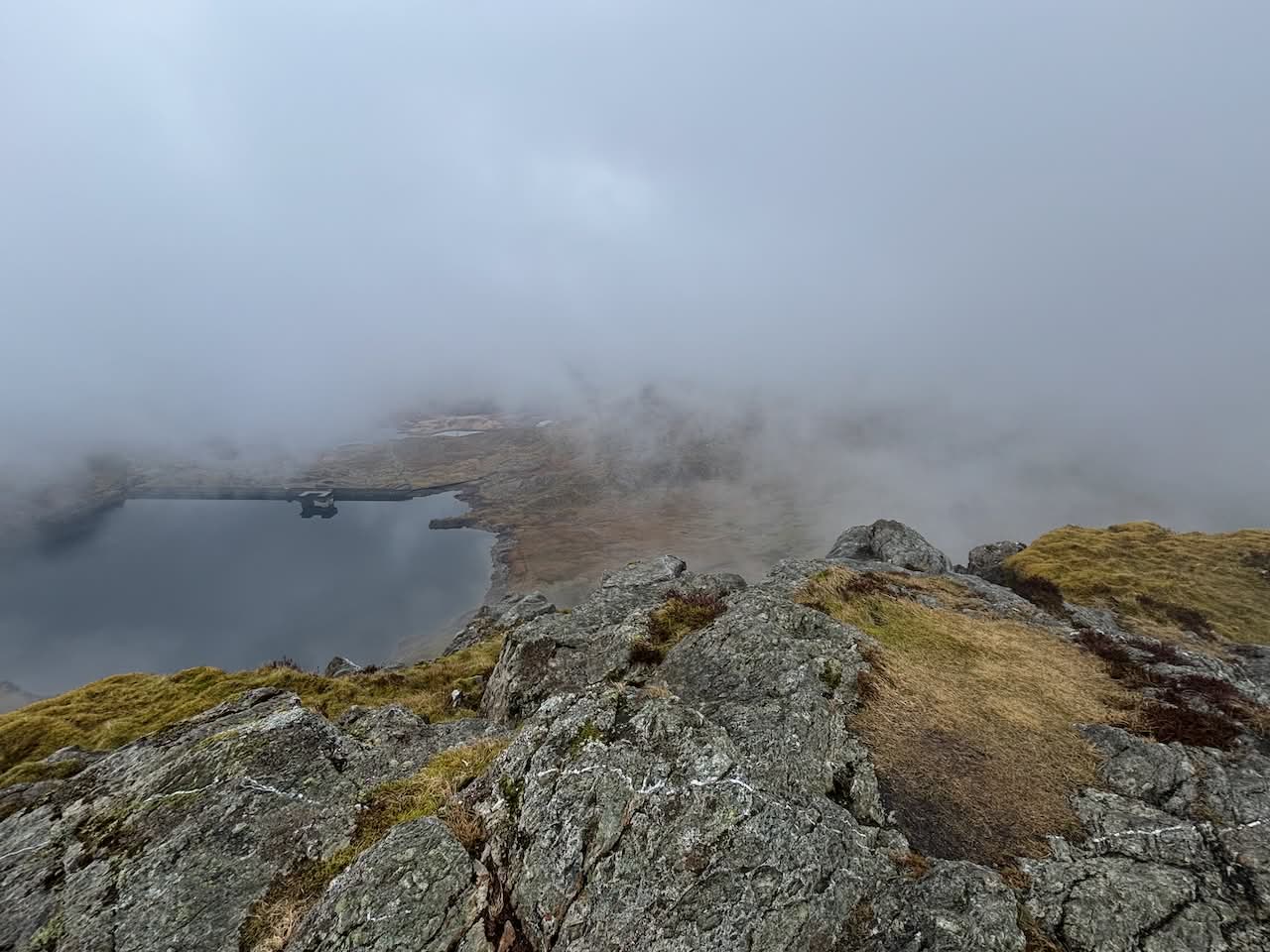
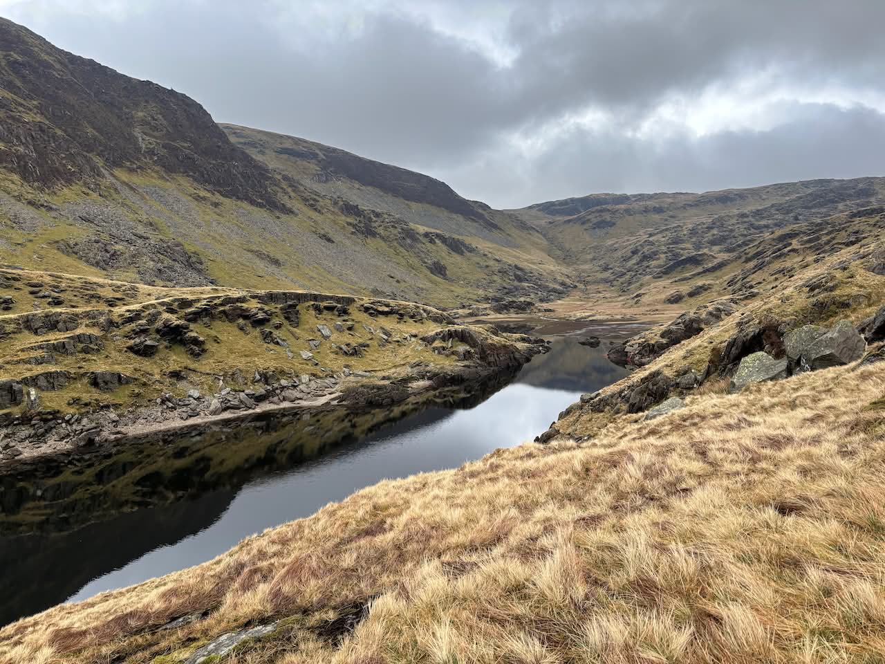
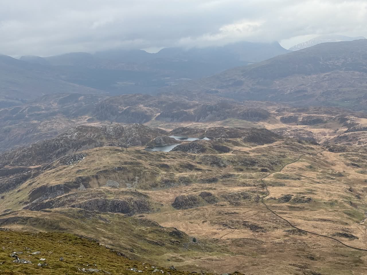
I reached the summit of Moelwyn Bach (710 m), the first Nuttall of the day, and then made my way north, following a well-defined path down to the saddle of Bwlch Stwlan. Here, I emerged from the clouds and had some nice views down to Llyn Stwlan to the east and the wide valley to the west. From here, it was another climb and a rocky scramble, including a traverse around a slippery ledge, to reach the summit of Craigysgafn (690 m), the second Nuttall of the day.
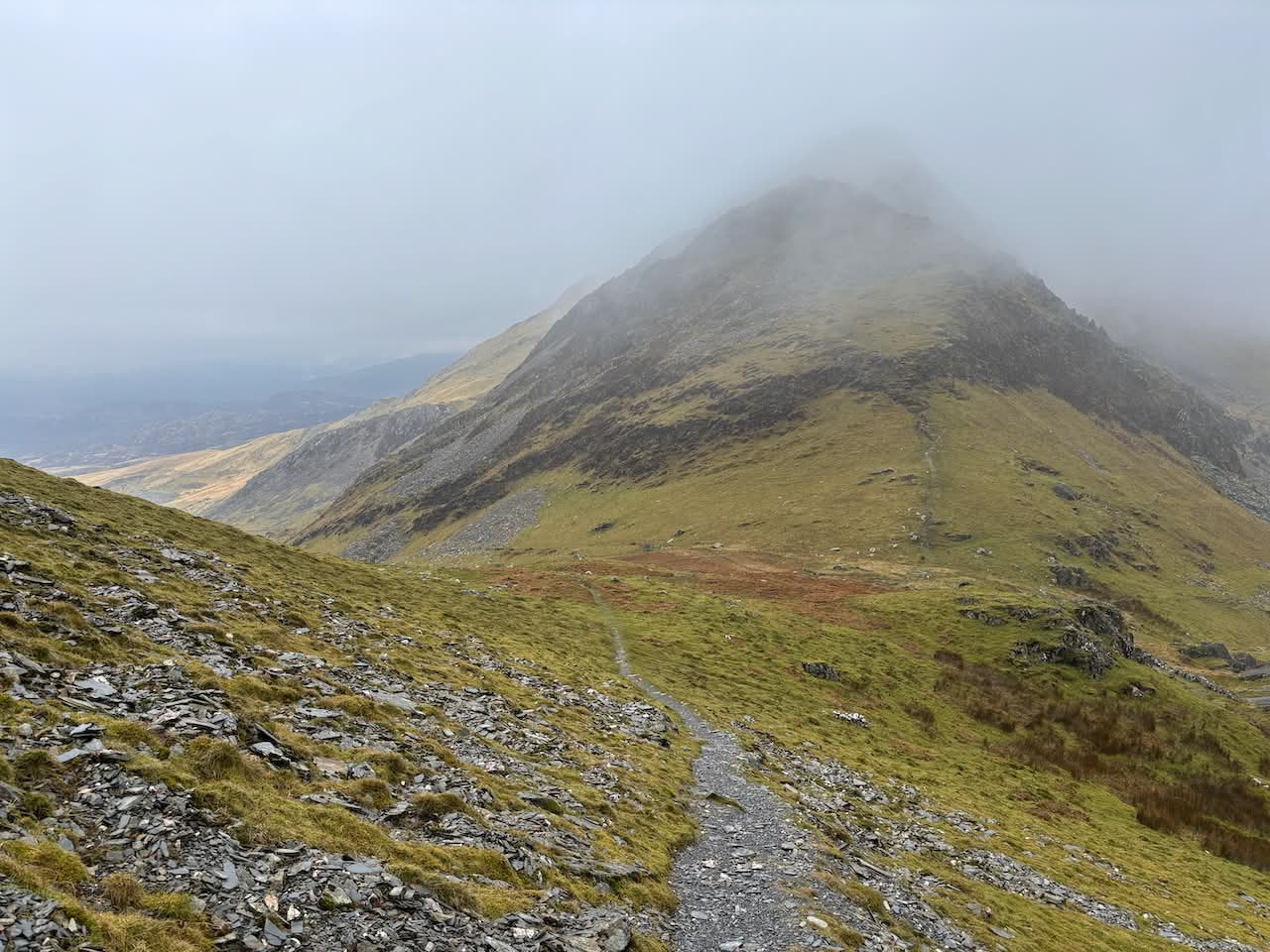
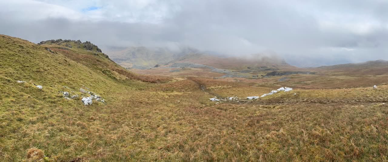
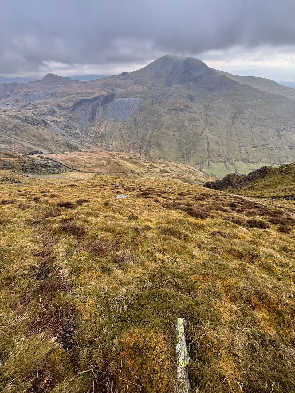
Continuing north along the ridge, I climbed to the high point of the day and Nuttall number three, Moelwyn Mawr (770 m), and then the lesser peak of Moelwyn Mawr North Ridge Top. I hadn’t seen anyone all day, but looking towards the Rhosydd quarries, I could just make out a couple of walkers. I headed in the opposite direction, along the ridge towards Croesor Quarry. I stopped for lunch on a rocky peak and then descended into increasingly boggy ground. I crossed an impressive stone wall/bridge at Llyn Croesor and then trudged through deep bog towards the Rhosydd Tramway, an impressive engineering feat snaking across the hillside. There were no obvious tracks, and it might have been easier to follow the path through Rhosydd Quarry, but I took a more direct route across the bogs.
At the tramway, I crossed it and headed uphill over rough ground to Llynnau Diffwys, then steeply down to Llyn Cwm-y-Foel. Maintenance work on the dam had lowered the water levels, and there were signs of recent activity, though no one was around today. I crossed the dam and began a very steep climb up the side of Cnicht.
There was a faint path at times, which was reassuring as the terrain above looked challenging. Eventually, the ground eased, and I traversed to the ridge, joining the ridge-top path to the Nuttall summit of Cnicht (689 m). The name of this mountain has always intrigued me. Derived from the Old English word “cniht,” meaning “knight,” some believe the mountain’s shape resembles a knight’s helmet, while others suggest it’s named for guarding the entrance to the Western Moelwynion. Either way, it sounds kind of cool.
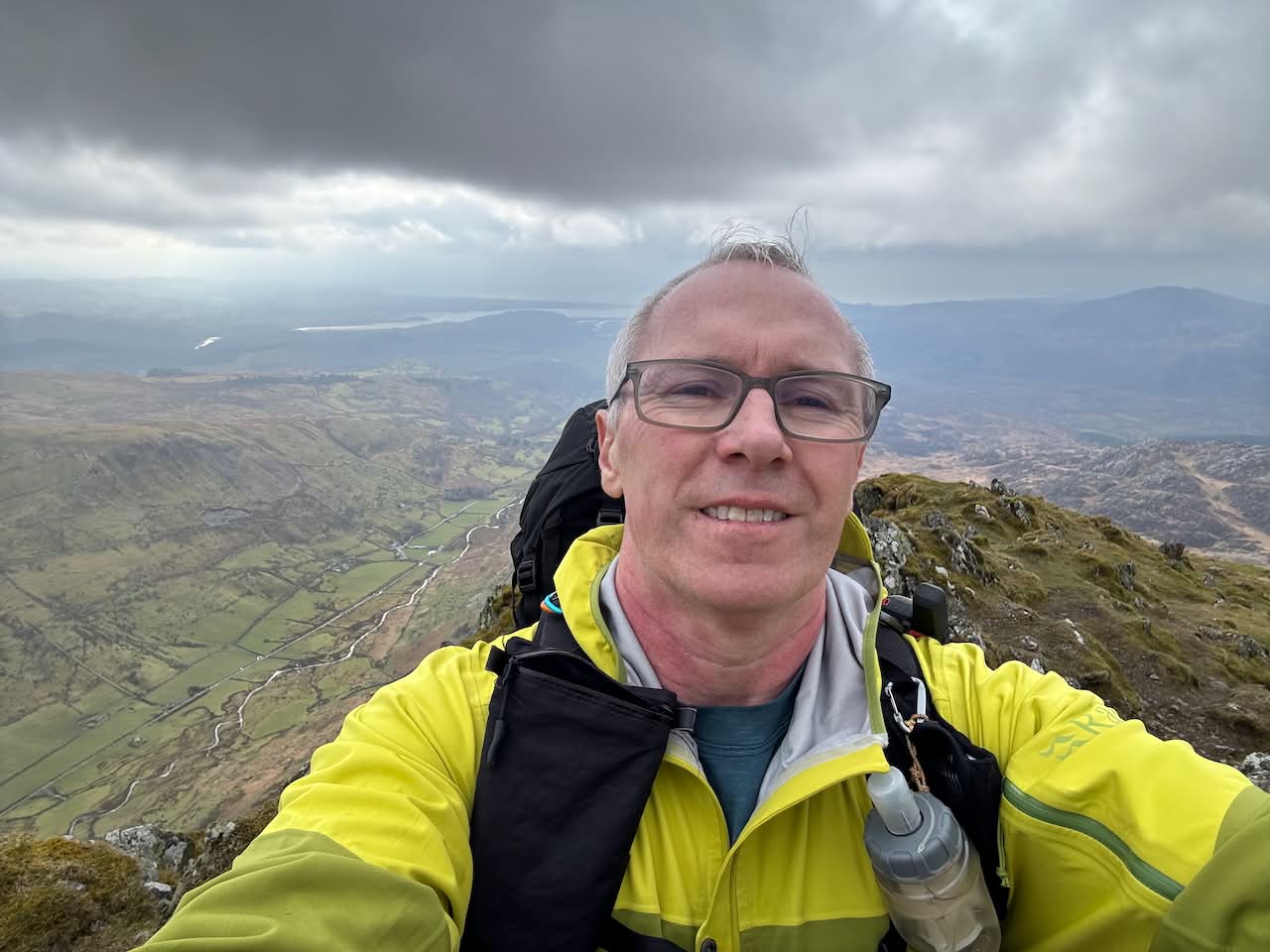
From here, I had good views towards Porthmadog and back across to Moelwyn Mawr. It looked a long way off, and my legs confirmed that it was! After a few photos, I retraced my steps to Cnicht North Top (688 m), the last Nuttall of the day. I followed the ridge for a while, then turned off towards another ridge and the smaller summit of Craig Llyn Llagi. With no paths, the rugged, boggy terrain slowed progress. I paused at the stream from Llyn yr Adar to fill my bottle, then skirted the lake, contemplating a campsite. It was exposed, with the wind picking up, so I decided to continue.
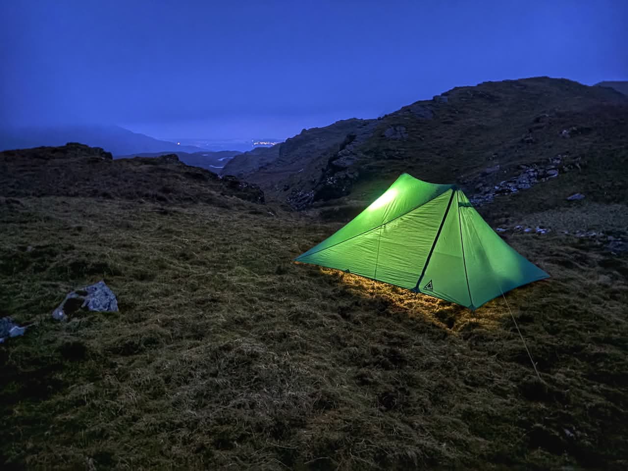
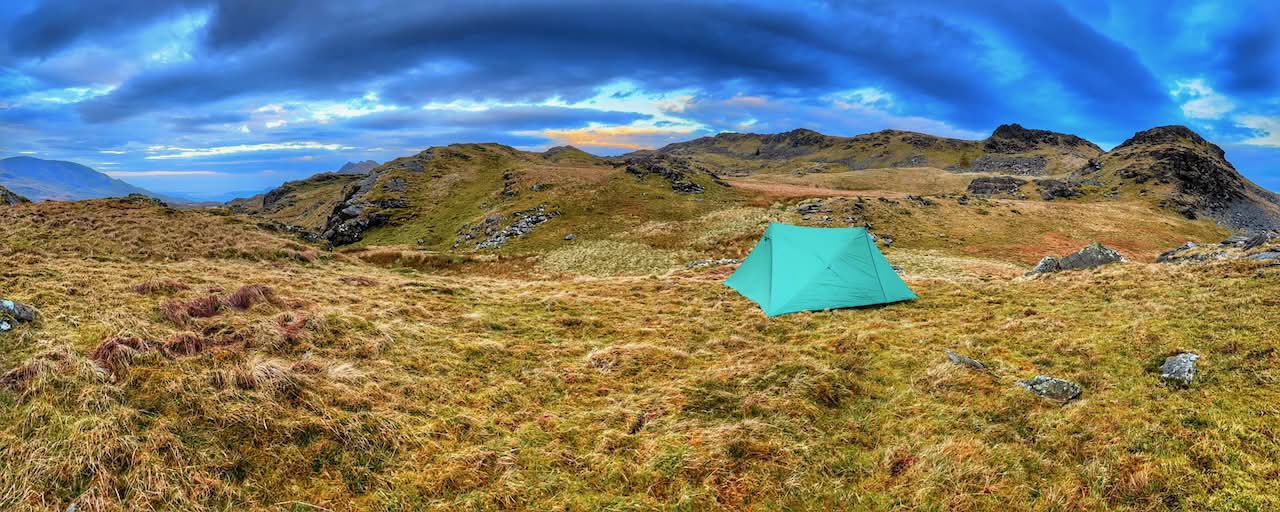
I crossed country towards Ysgafell Wen, where I’d spotted potential campsites last week. Though I had planned to camp on the promontory in Llyn Conglog, fatigue led me to a flat, dry spot above Llyn Tefyn. I set up my tent, filled my water bladder, and the rain began.
I’m glad I stopped when I did, as I at least had shelter. The rain intensified, and the wind picked up, but I stayed dry. After food and a hot drink, I felt better, though the mild lurgy and the 10-mile walk with over 1000 metres of climbing had taken their toll. I took some photos, messaged Anna, read, and settled down for the night.
My back was sore, and sleep was elusive. The rain stopped overnight, but the wind strengthened. One of my tent’s guy lines slipped (I’ve since changed them for better hold). Typically, just as I decided to get up and cook breakfast, it started raining again! Thankfully, it didn’t last, and after porridge and coffee, I packed away a relatively dry tent. A quick check to make sure I’d ‘left no trace’ and I was on my way again.
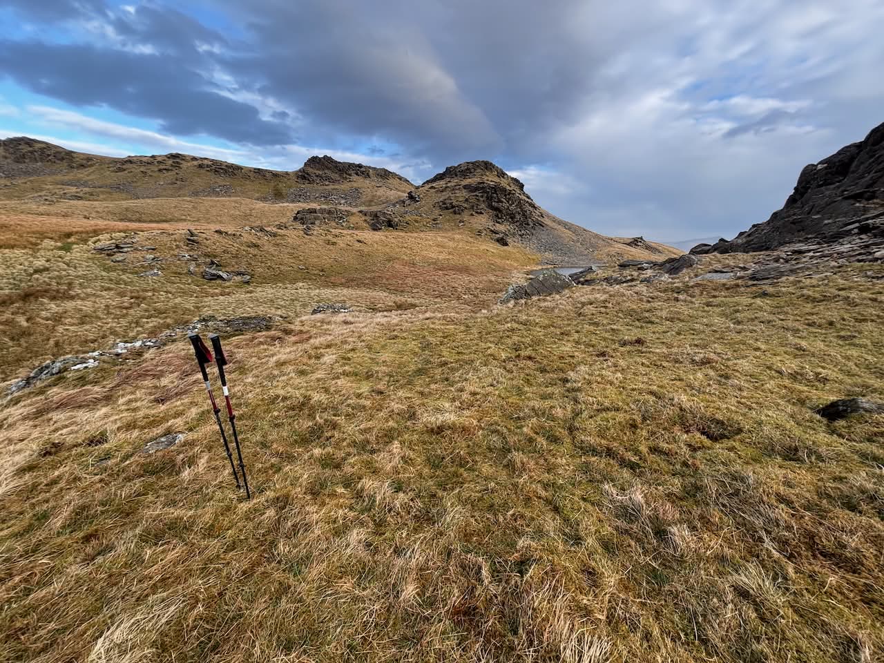
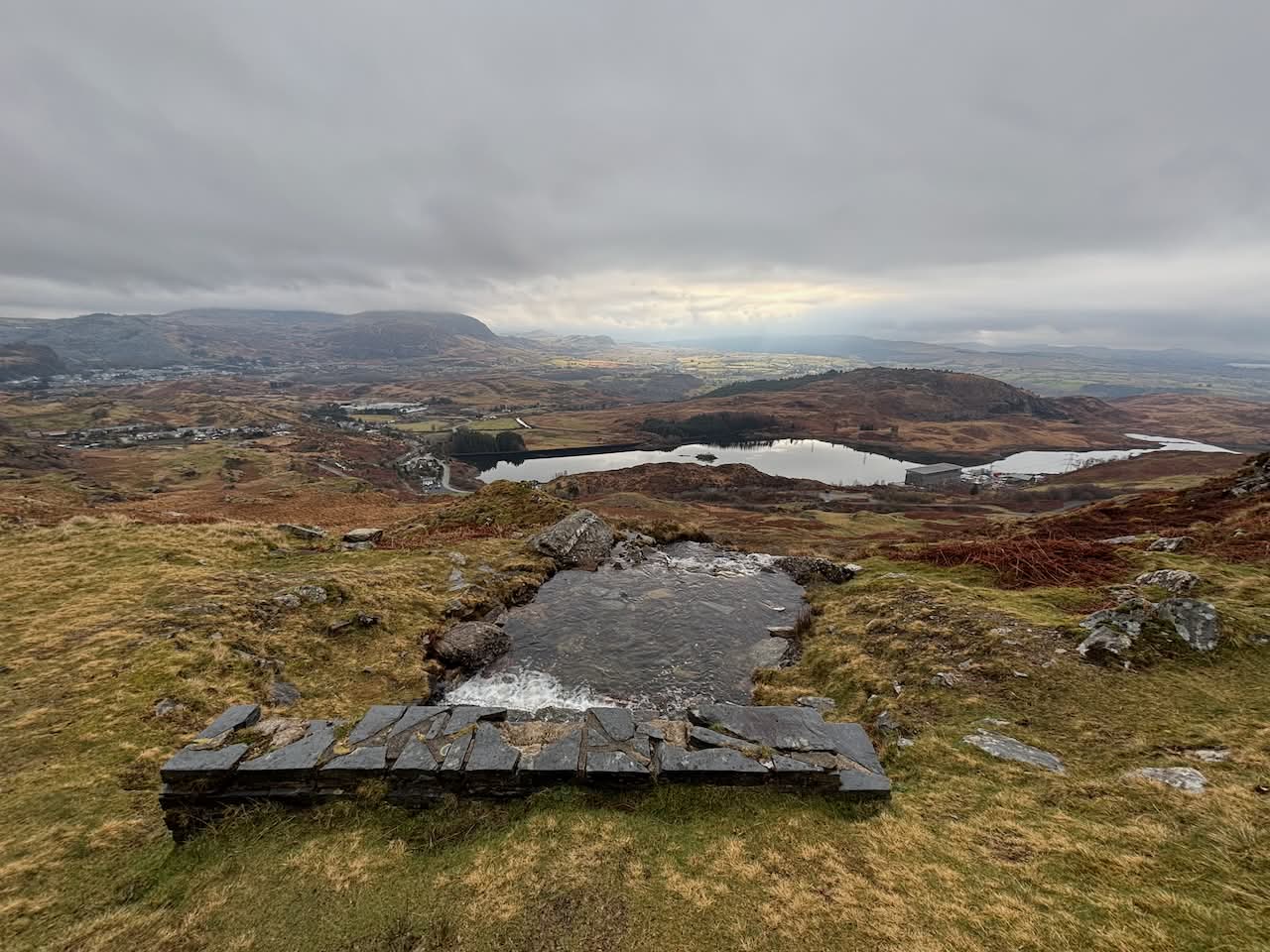
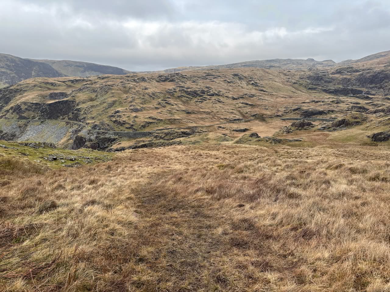
My plan for the day was an easy walk across the tops to revisit Moel Druman and Allt-fawr, then head to Craig Nyth-y-Gigfran (554 m) before descending through the levels and inclines of Cwmorthin Quarry to Cwm Cwmorthin and back to the car. The weather was better with early sunshine and expansive views across Eryri. Approaching the lake, I passed walkers, dog owners, and groups heading into the mines.


Soon, I was back at the car and heading home, having ticked off another five Nuttalls and a few smaller peaks. It’ll be a few weeks before I can bag more, but I’m already planning the next trip.


Hmm, do I detect another book on its way in a year or two ?